Waterhouse Regional Trail Preview: December 2013 Chainrings
Spanning nearly 10 miles from north to south, the expanded Waterhouse Trail is scheduled to open in its entirety next Spring (2014). What exactly is the Waterhouse Trail? Where is it? Why is this new trail so exciting? Sunset Cycles did a reconnaissance trip to give you an exclusive preview.

At the northern end of the trail near NW Laidlaw
When various construction projects (spearheaded by the Tualatin Hills Park and Rec District, a.k.a. “THPRD”) along this route are finished, cyclists, runners, and hikers will have a 10-mile trail that stretches from the Bethany area southward to the Murray Hill area south of SW Scholls Ferry Road. The trail promises a great thoroughfare through a densely populated section of our region, offering access that previously was missing and a (mostly) car-free way to enjoy the outdoors.

Bronson Creek bridge construction. Bridge footings visible.
Trail User Beware…
In full disclosure, there are numerous potential pitfalls and hazards to be aware of: In its current condition, the trail is interrupted by many road crossings and has sections where navigation is confusing. Additionally, parts of the trail are missing curb cuts, so to avoid bunny hopping the curb, riders must traverse down a sidewalk to the closest driveway, cross the road, and ride back on the opposite sidewalk to continue!

Bridge between Laidlaw and West Union
Additionally, there are many safety considerations. Many of the neighborhood road crossings don’t have stop or warning signs, and traffic calming devices such as speed bumps and crosswalks are absent. Young riders in particular might be tempted to cross the streets without looking for auto traffic, creating a potential nightmare.
From a navigation standpoint, a major detour in the NW Bronson/Bethany/Cornell/158th area puts riders on busy surface streets before reconnecting with the trail off NW Waterhouse Ave. Here, artificial wood surfaces were iced over during our ride and made travel in the saddle impossible.

Ramp construction south of Laidlaw
Further south, trail users are directed into the Tualatin Hills Nature Park, which includes the use of narrow, winding multi-use paths (some made of wood) that can be extremely slippery in cold or wet conditions. Exiting the park heading south, a lack of clear signage makes picking up the trail south of TV Highway a bit perplexing.
Our scouting trip…
We began from the northern end of the new trail, which starts essentially at the Pirate Park, a children’s park, approximately ½ mile north of NW Laidlaw near NW Energia Street. The first construction project (a large ramp) we encountered came just south of Laidlaw. The area here is very scenic and features a massive bridge which spans a creek.
South of West Union is where we encountered the lack of curb cuts and warning signs, but the area from here to Sunset Highway is quite scenic and relatively quiet. Another major bridge construction over Bronson Creek is underway.
After the icy pathways south of Cornell, we enjoyed a gently winding section that stretches to Baseline, where a new trail section and (another!) new bridge are being completed. From Baseline to the Nature Park, a new wide trail section is very welcoming.

Pathways south of Cornell
After winding through the paths of the Nature Park, we lost the trail briefly before linking up again near TV Highway. Two blocks south, the trail heads east for a bit before turning south again. From this point, navigation is a breeze, with clear signage and good sight lines. Two major climbs (with peaks at SW Davis and another near SW Flagstone) punctuate the journey.

Looking north toward TV Hwy.

Signage south of TV Hwy
Rolling hills and great vistas of the entire valley can be enjoyed at various points in this southern section of the trail. From Farmington Road south to Weir, the trail heads due South, then turns Southeast, eventually crossing Scholls Ferry and terminating at SW Barrows Road.

Ramp to the top
The Bottom Line…
With the above caveats to be addressed by THPRD (better signage, curb cuts, traffic calming, non-slip surfaces), this trail will make a GREAT addition to our region. The magnitude of a few of the construction projects we encountered were mind-blowing—the size of a bridge needed, for example, to span a 6-inch section of drainage pipe adjacent to the Sunset Golf Center at Jenkins Road. The cost of that one project alone could fund incredible signage and curb cuts for the entire trail, with plenty left over for other improvements.
[UPDATE (12/5/2013): THPRD emphasizes that the following portions of the trail are CLOSED to use until next year:
- NW Argyle Way south to NW Countryridge Drive
- NW Joscelyn Street south to NW Bronson Road
- SW Baseline Road south to Merlo Road & SW 158th Avenue –ed.]
It’s not a trail for your club training ride or a peloton of any size. We’d suggest it for solo riders or groups of four or less, with ample patience on board to handle the nuances of a multi-use trail.
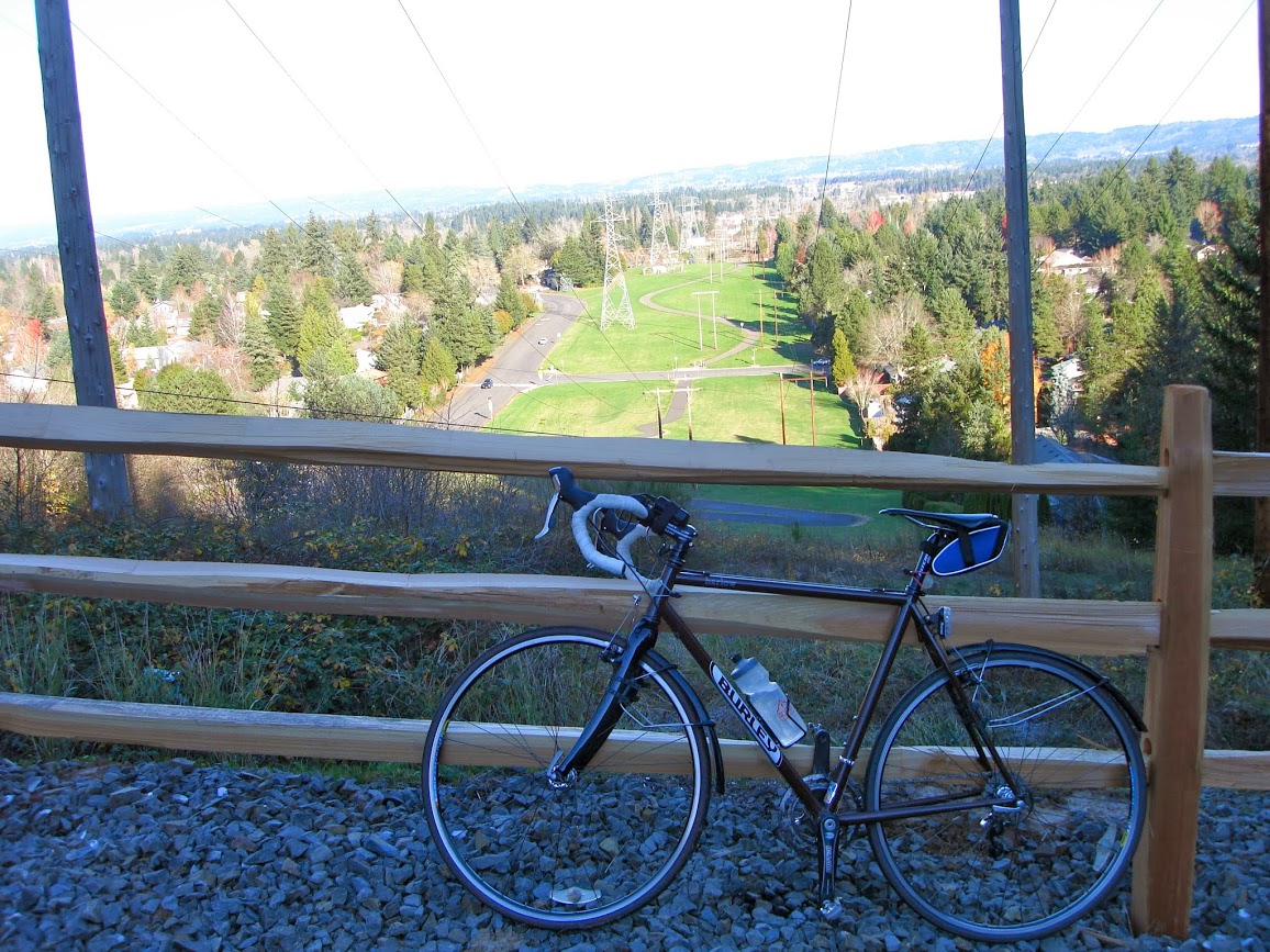
Another vista
But make no mistake about it: The Waterhouse Trail represents a watershed moment for outdoor activities in Washington County, including cycling. Kudos to THPRD for the vision and follow through. We can’t wait until Spring for an uninterrupted tour of the trail!
Here’s a link to a map from THPRD showing much of the trail
Click HERE for the next article in this month’s Chainrings: 12 Days of Christmas